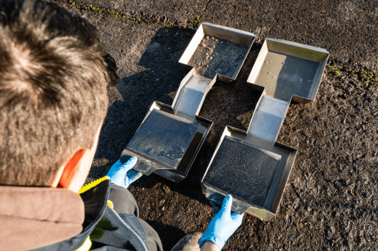
Has soil contamination been detected on a terrain? By means of an in-depth soil survey, we will map out the extent of the soil contamination in detail. Based on this information, we can then investigate the risks further and determine the nature and degree of the soil contamination.
The in-depth survey focuses on:
The horizontal (surface) and vertical (depth) delimitation of the soil and groundwater contamination
The thorough survey of the contaminated zone in order to avoid delimiting too large an area to be examined
Determining the time in which, and the place where, the soil contamination has occurred, in order to be able to make an accurate estimate of the risks, the extent of the remediation and the responsibilities.
Assessing the risks and establishing the next steps to be followed (pollutant load, earthmoving, remediation ...)
Soil survey
The results of the in-depth soil survey will thus indicate whether soil remediation will be appropriate or not. This way, you will also get a very good idea of the cost price of an eventual remediation.